There is an impressive amount of sightseeing you can do while traveling down Highway 395. Not only can you do all of these things, but you can also visit two more national parks: Yosemite National Park, near Mono Lake and Lee Vining, and Death Valley National Park, which happens to be the largest national park in the lower 48 states, though Alaska still has them beat. 🏔 Now having shortened our time to just three days for this part of our journey, and it being unseasonably cold for the area, we had to be practical and selective about the places we visited.
Lee Vining and Hot Creek:
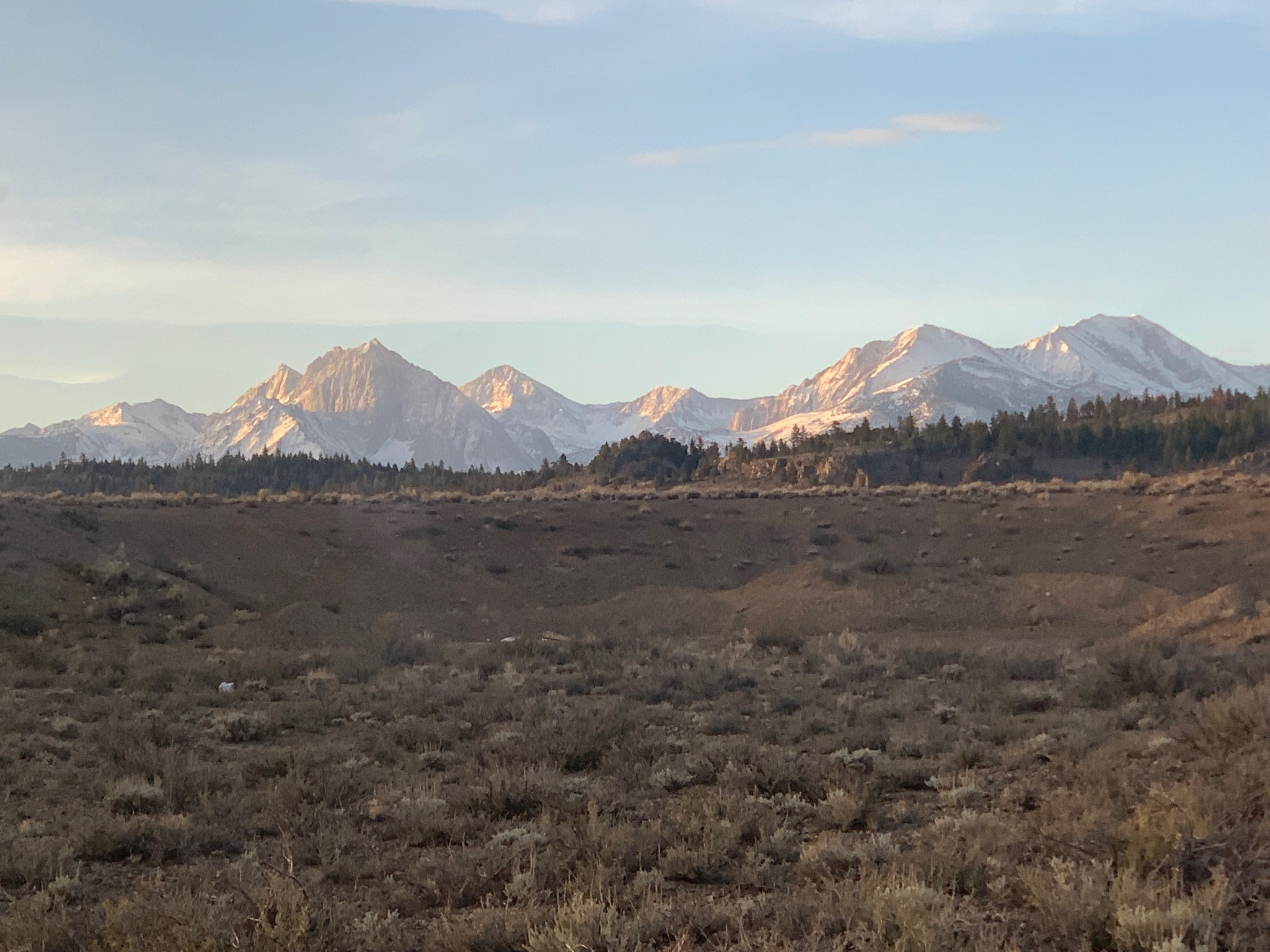
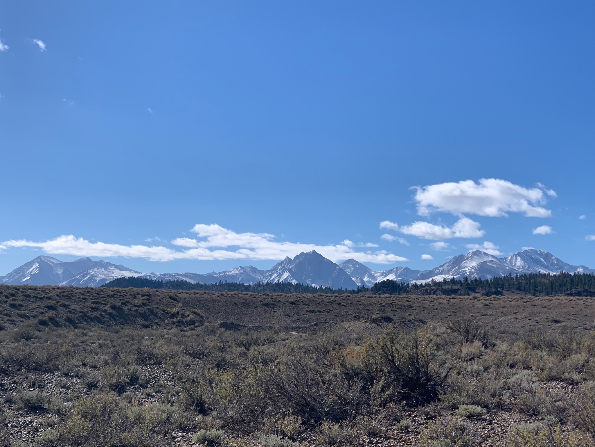
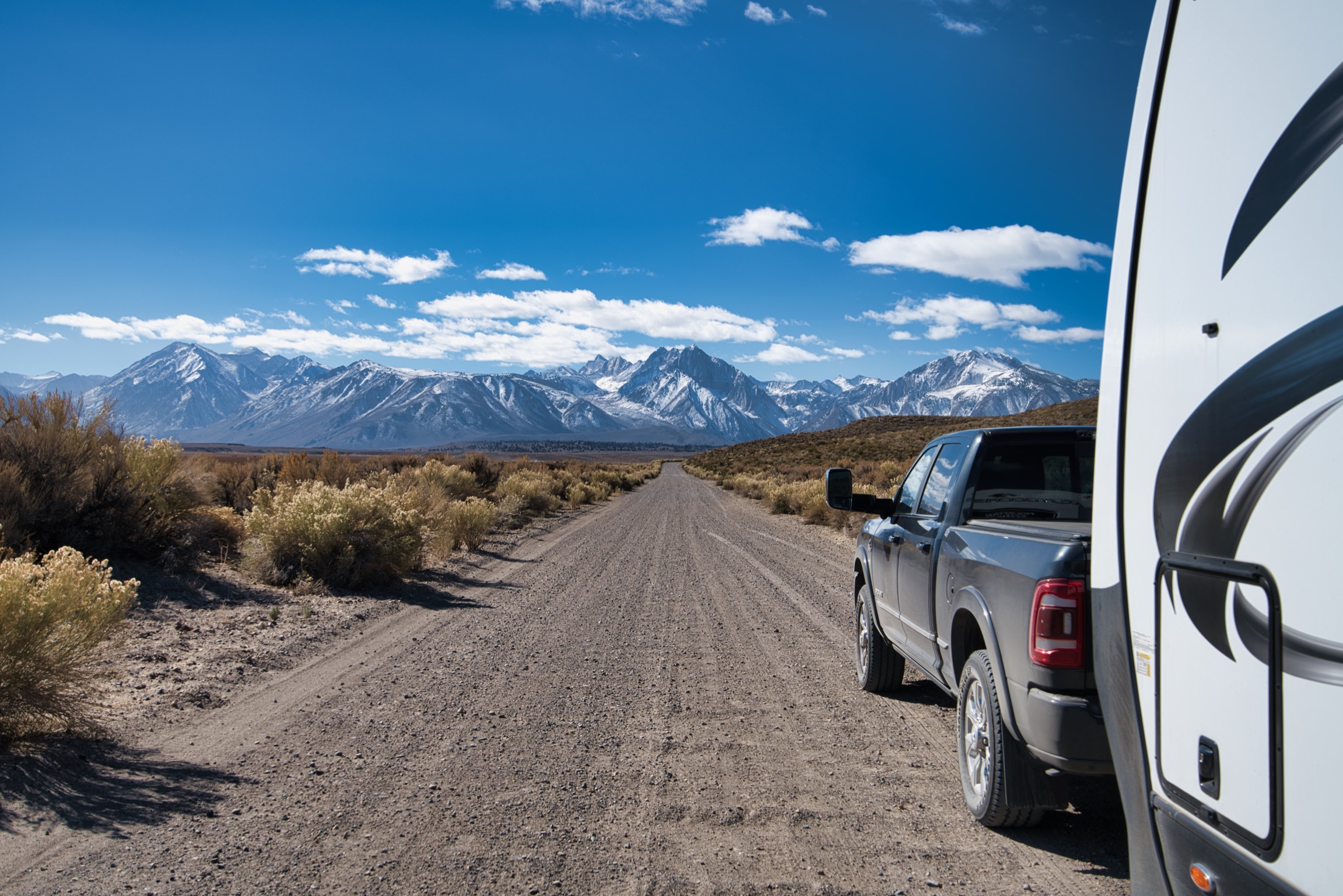
Because the snow didn’t melt enough for us to get going any earlier than 2pm on Tuesday, and we also needed to refuel and stock up in Gardnerville, NV, we were in a race against the sunset to get to our first destination near Lee Vining, which is situated at around 6780 feet in elevation. Matt found a suggestion on a boondocking Facebook group for camping down Owens River Road, but as he drove farther down the road and saw most places to camp still covered in snow, we were nervous that we wouldn’t find a place to park for the night without fear of getting stuck in snow or mud. 😬 The sun dipped down below the horizon, the pavement gave way to gravel, and we were still driving!
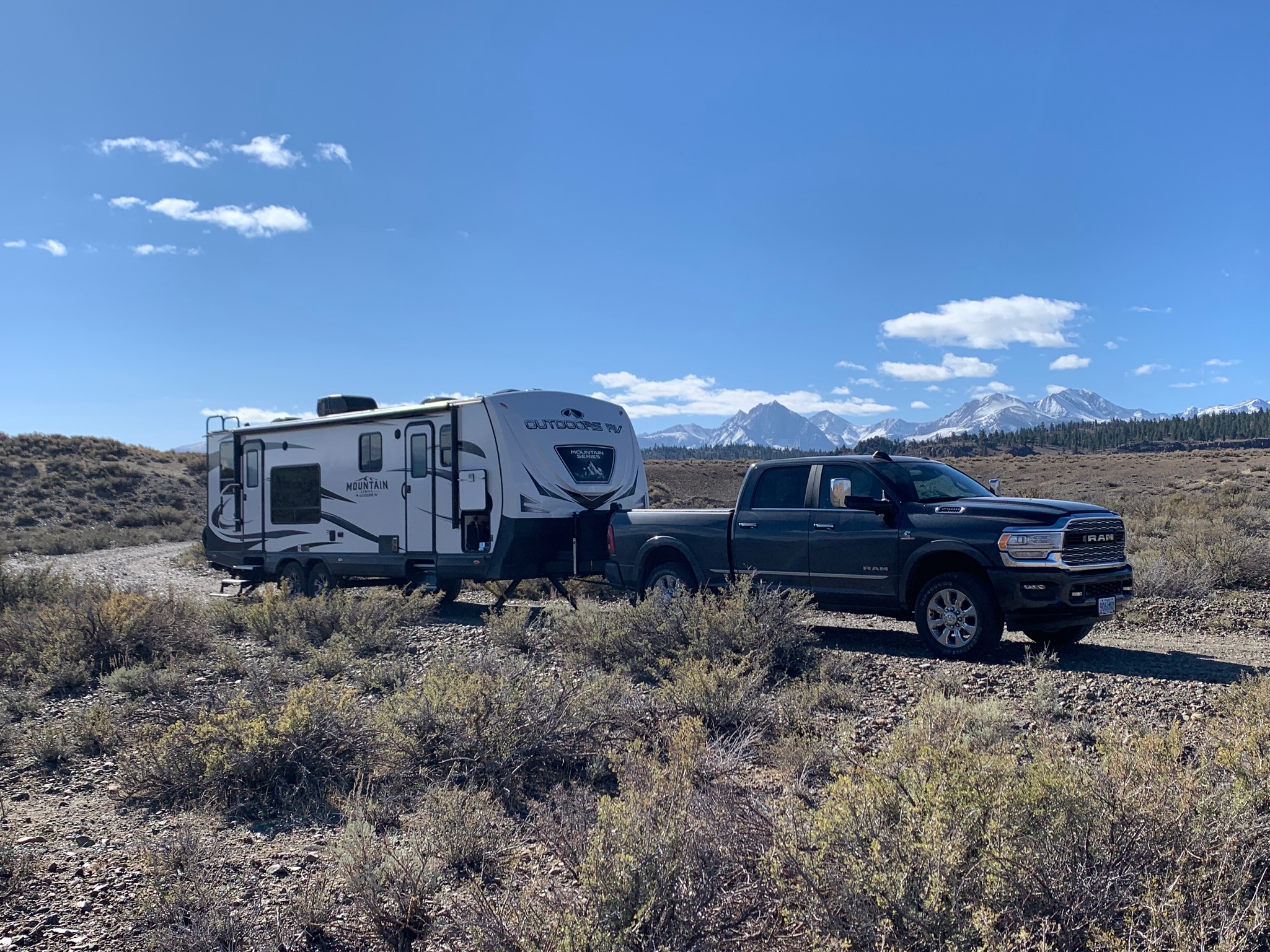
After several miles, Matt found a spot tucked away in an area where the snow had fully melted, and we set to work trying to heat the trailer. 🥶 The temperature dropped down to 15 degrees Fahrenheit, so it was another night of bundling up and burning through propane! However, the views of the mountain ranges surrounding us on all sides were incredible! Not too shabby for a free camping spot all to ourselves. 🏕 Plus, between our snowy adventure in Kirkwood and low temperatures in Lee Vining, we were testing out the trailer’s capacity to keep the underbelly warm and prevent our water pipes from bursting. So far so good!
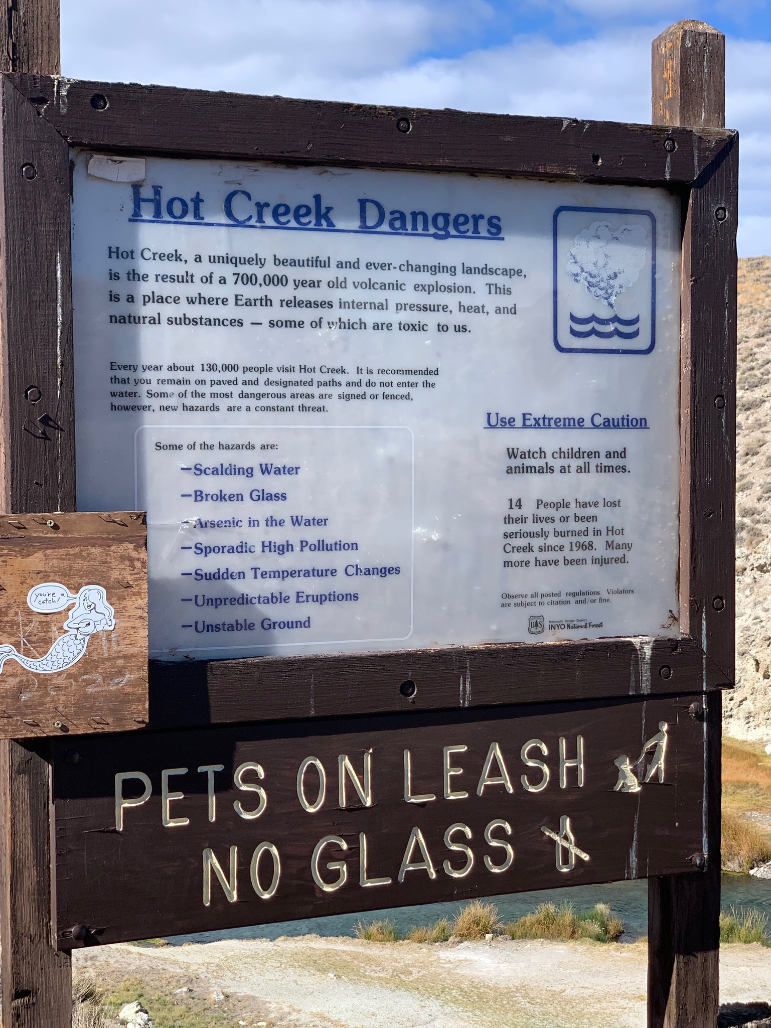
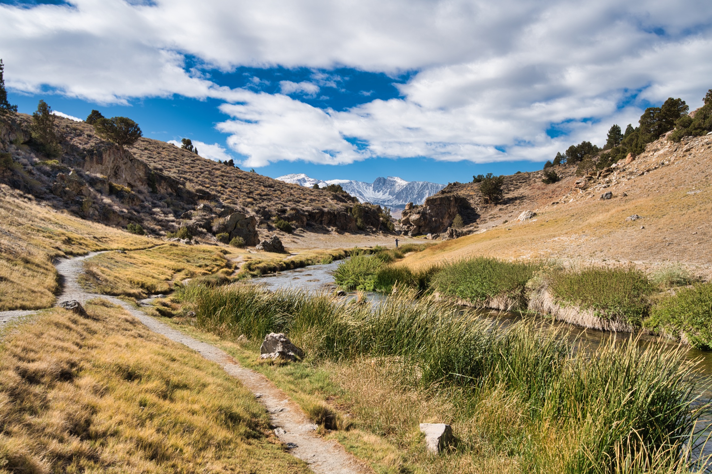
Matt also found a hot spring nearby called Hot Creek, so the next day we decided to visit this geologic site on our way back out to Highway 395. It was surprisingly popular for being out in the middle of nowhere down miles of dirt roads, but worth the visit if you enjoy geological wonders. We went over some very bumpy sections of road, so after exploring the creek we right-sided quite a few things in our trailer that had been tossed around. Thankfully, most of our travel was smooth sailing after this. 🤞


Lone Pine and Alabama Hills:
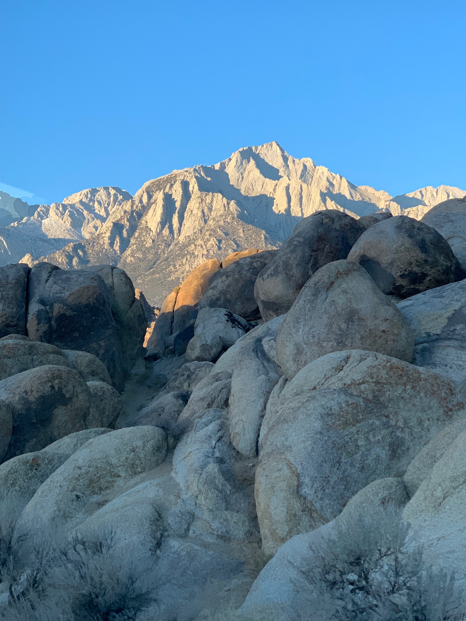
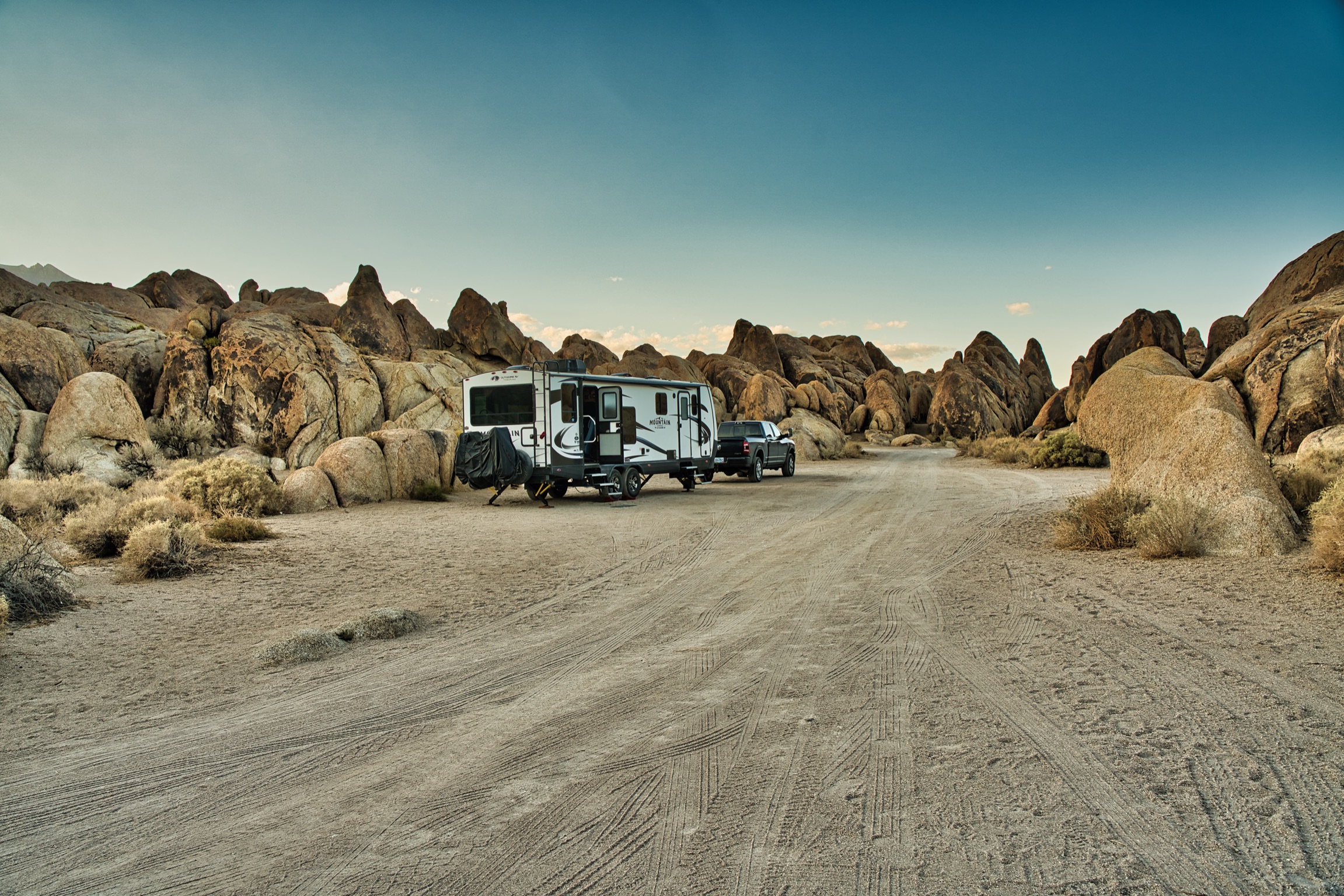
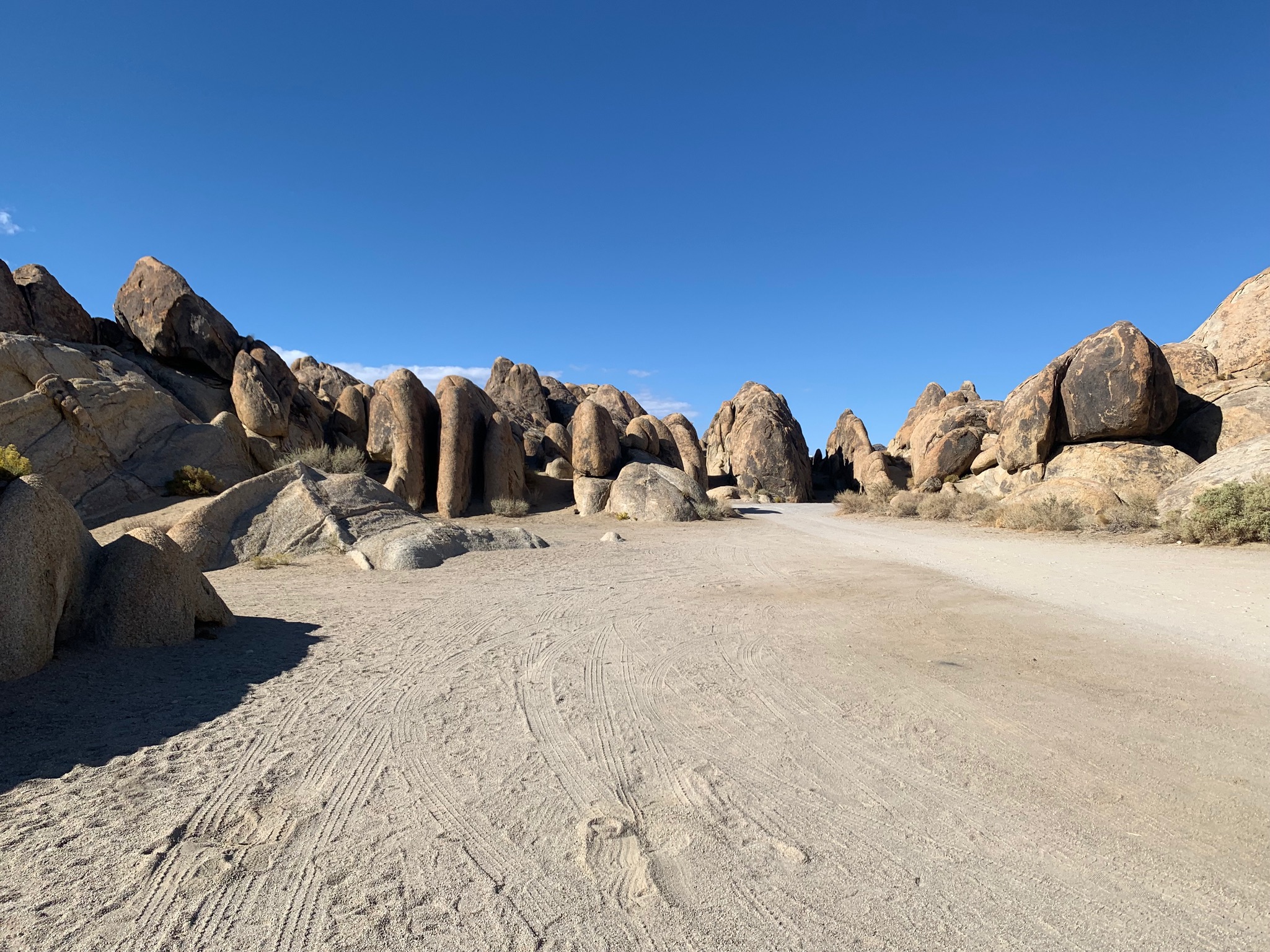
About 120 miles farther south of Lee Vining is the town of Lone Pine, which is known for its proximity to the Alabama Hills. The Alabama Hills are located on the eastern side of Mount Whitney, the tallest mountain in the lower 48 states…yet again, Alaska has the lower 48 beat with taller mountains as well. Everything is bigger in Alaska! Wait, I thought that was what Texas was known for…I digress. 🤠 The Alabama Hills are a popular dispersed camping destination, with interesting geological features, and opportunities to hike, climb, and stargaze with its plethora of trails, rocks, and low light pollution.
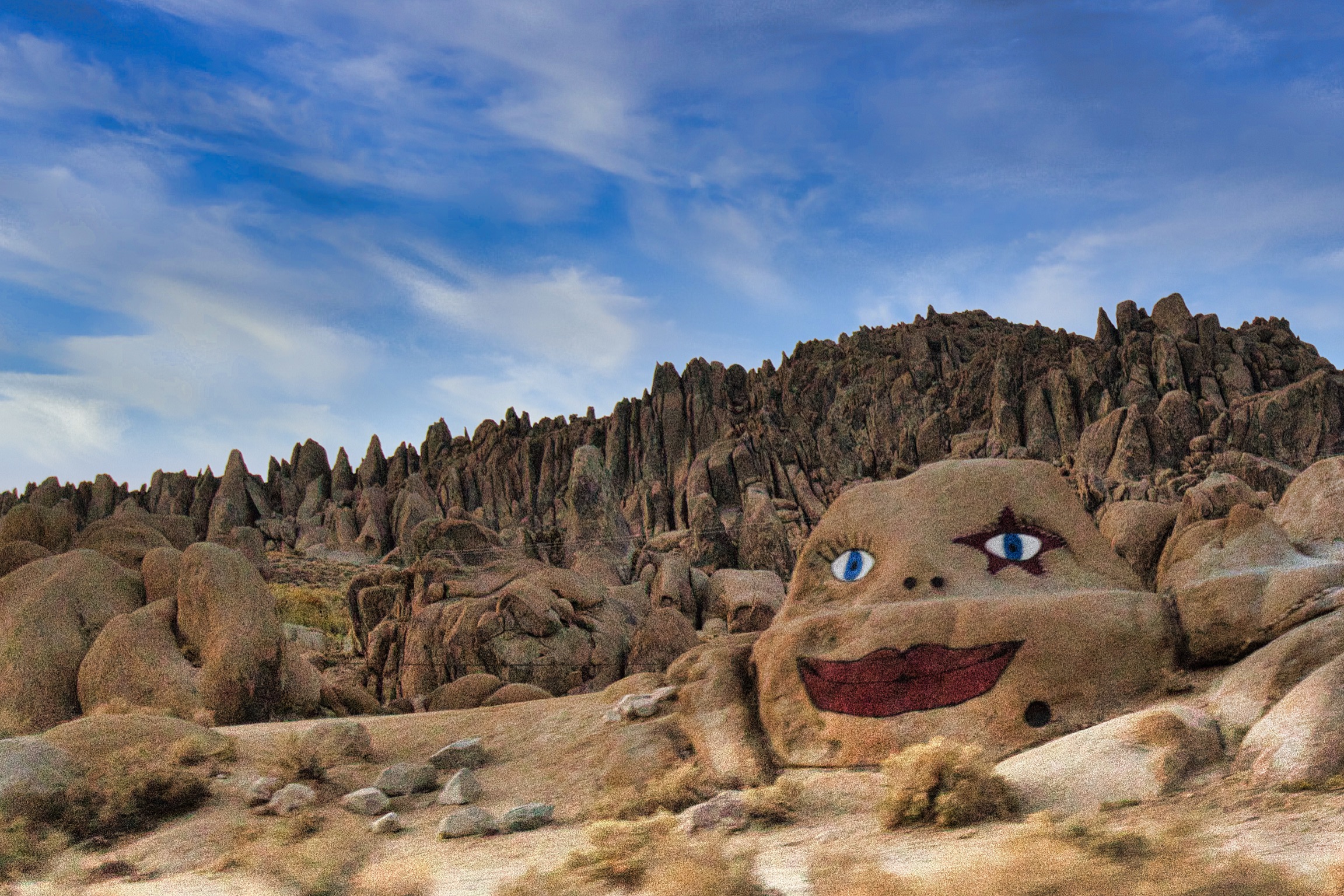
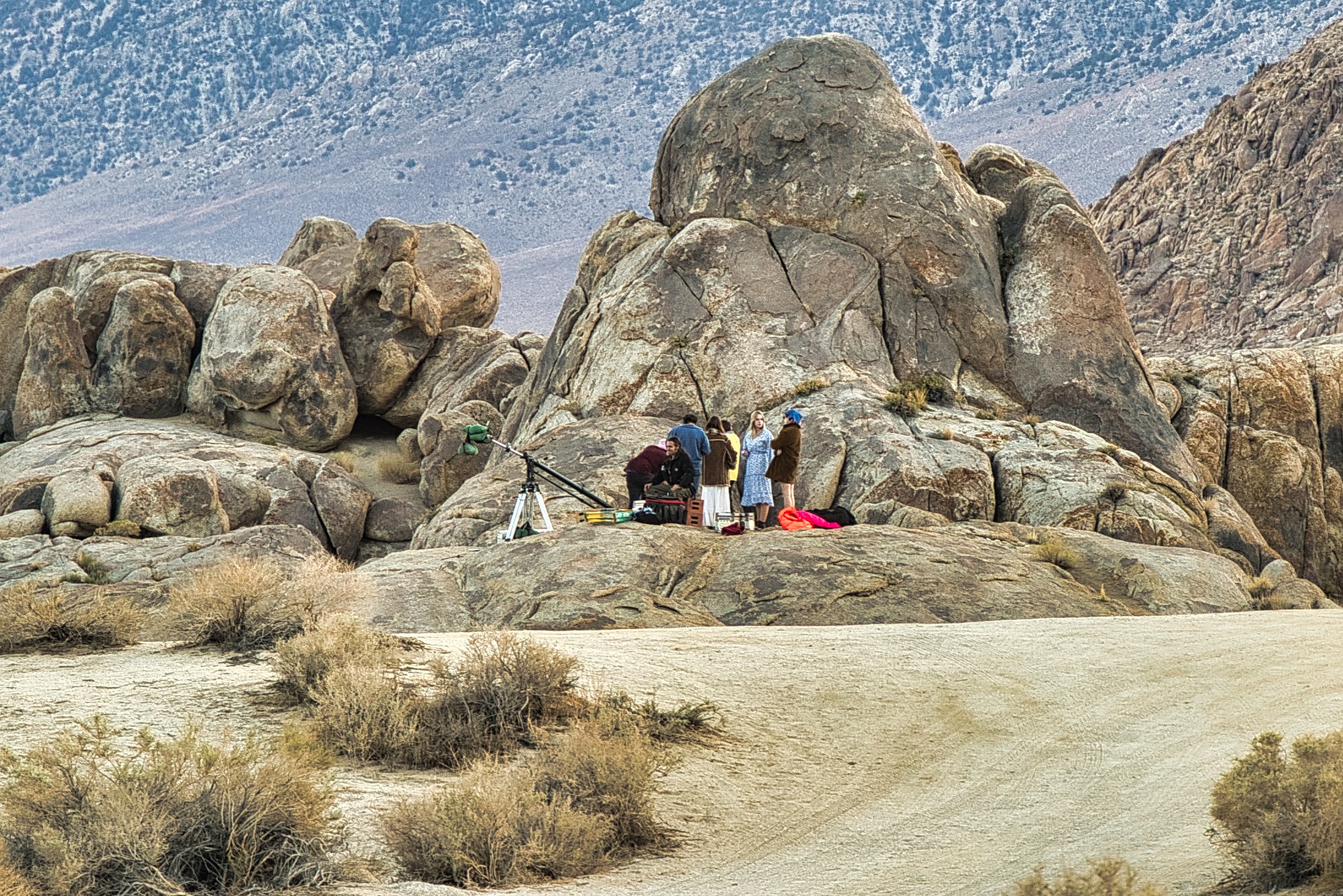
In addition to outdoor activities, its “claim to fame” is that the Alabama Hills have also been a popular filming location, especially Western films, and is still used in movies, music videos, commercials and more today. In fact, while we were camped out near the Lone Ranger Ambush Site, we saw filming taking place! We didn’t inquire, but saw a group of about seven people with camera equipment, acting out scenes across the way, and thought it was pretty neat to be witness to creativity in action.
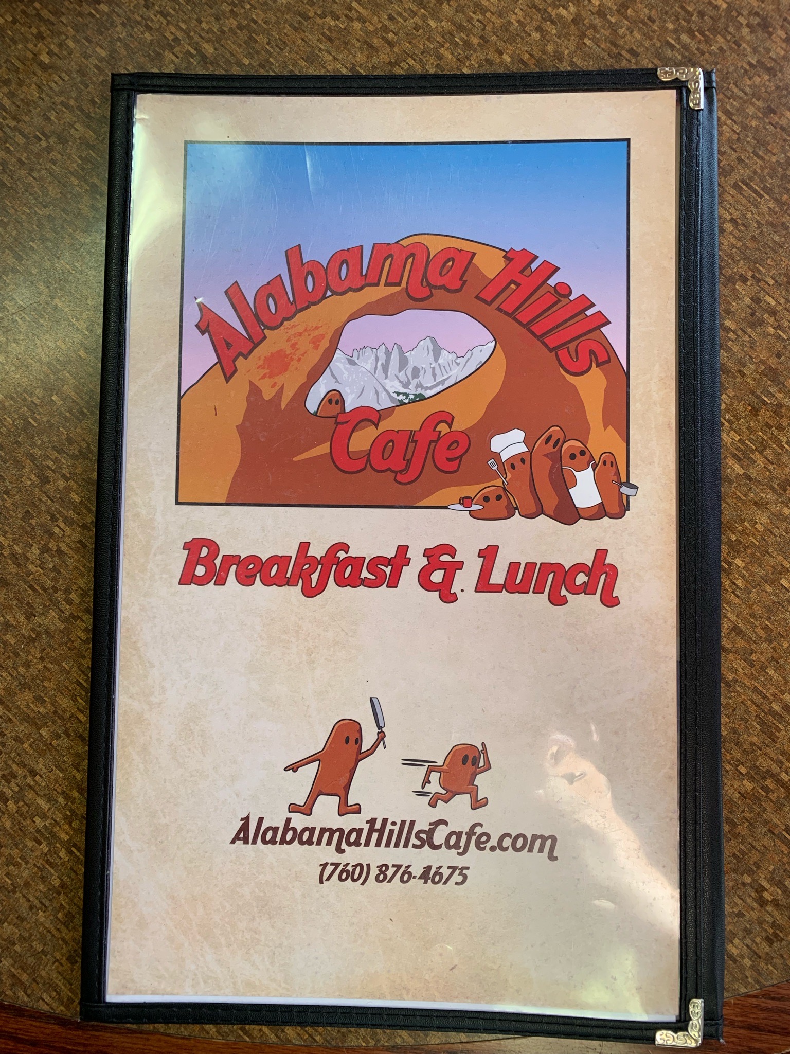
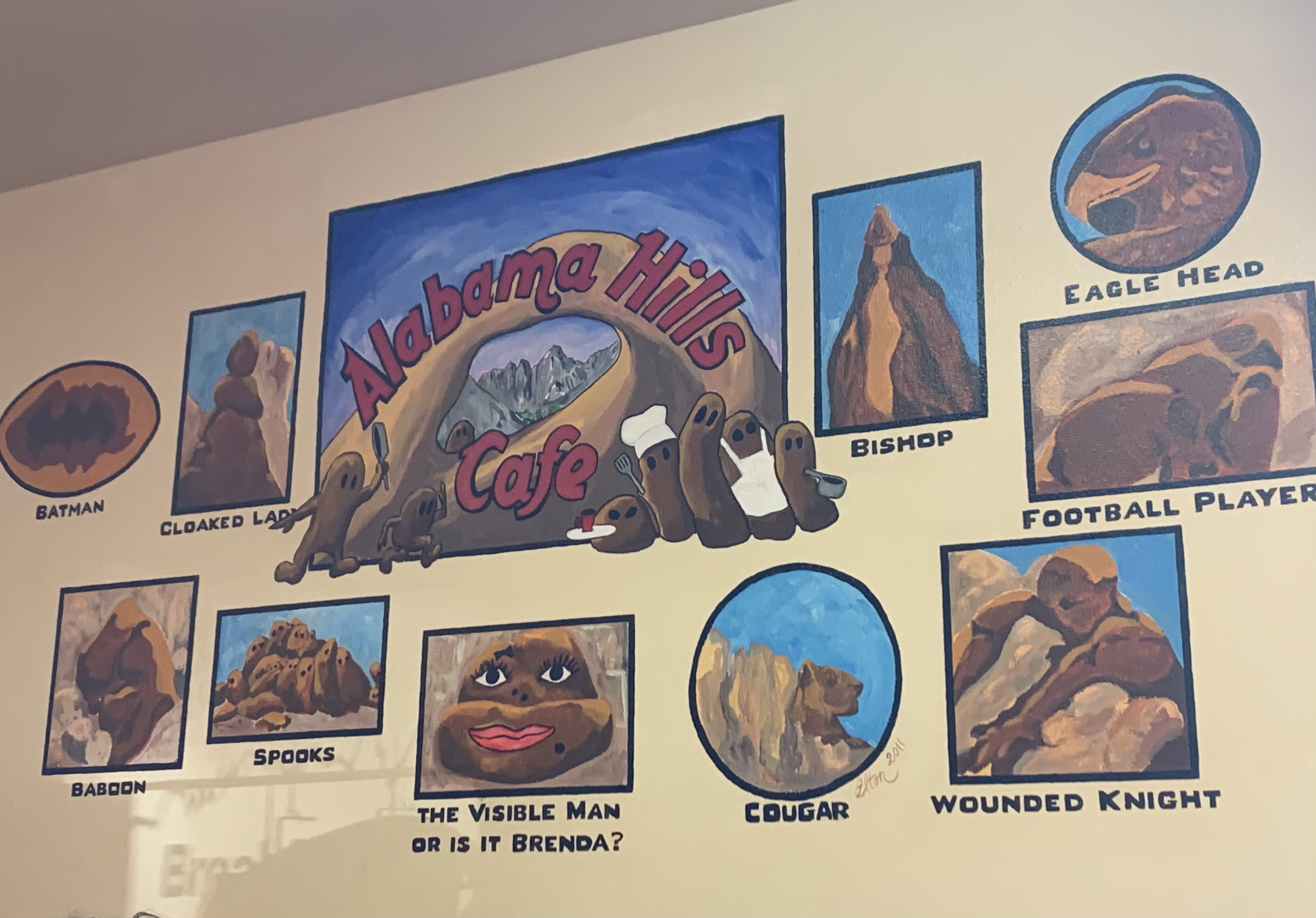
In Lone Pine, there is a Museum of Western Film History, which also hosts an annual film festival that we just missed by a few days. We didn’t spend a lot of time in town, but did go to the Alabama Hills Cafe and Bakery for breakfast. This place was really hopping, our food was delicious and the service was outstanding! It’s a really cute place, and I highly recommend stopping by if you are in the area for breakfast or lunch or want a tasty pie or other baked goods to take with you on the road.

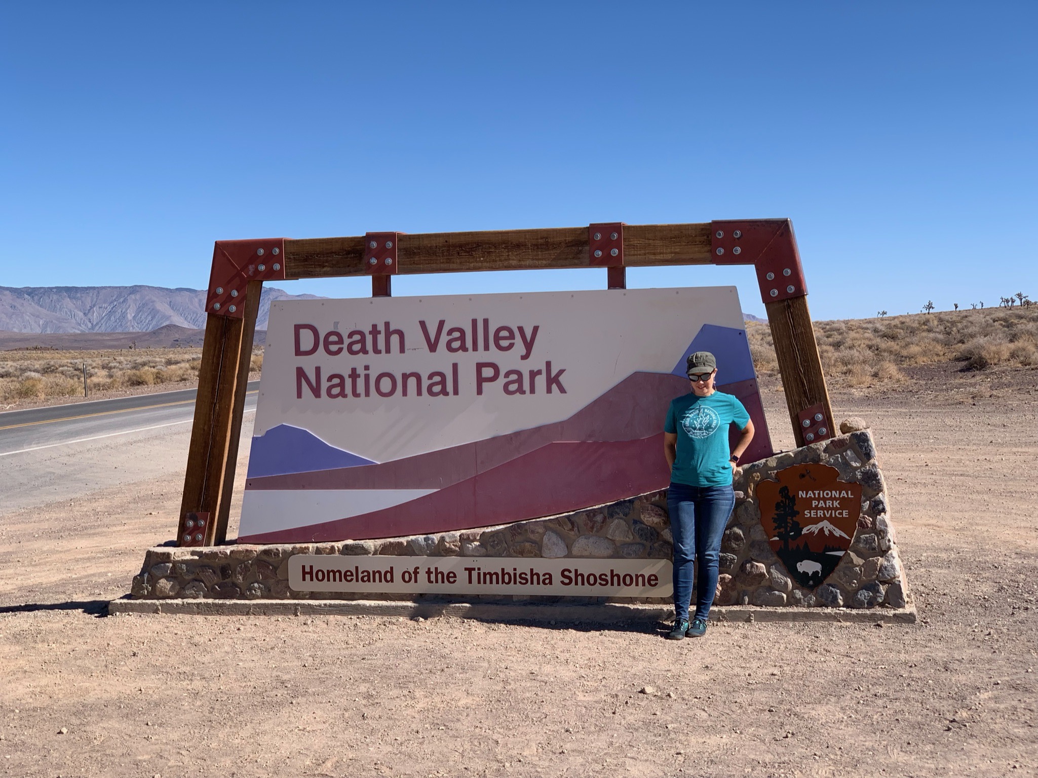
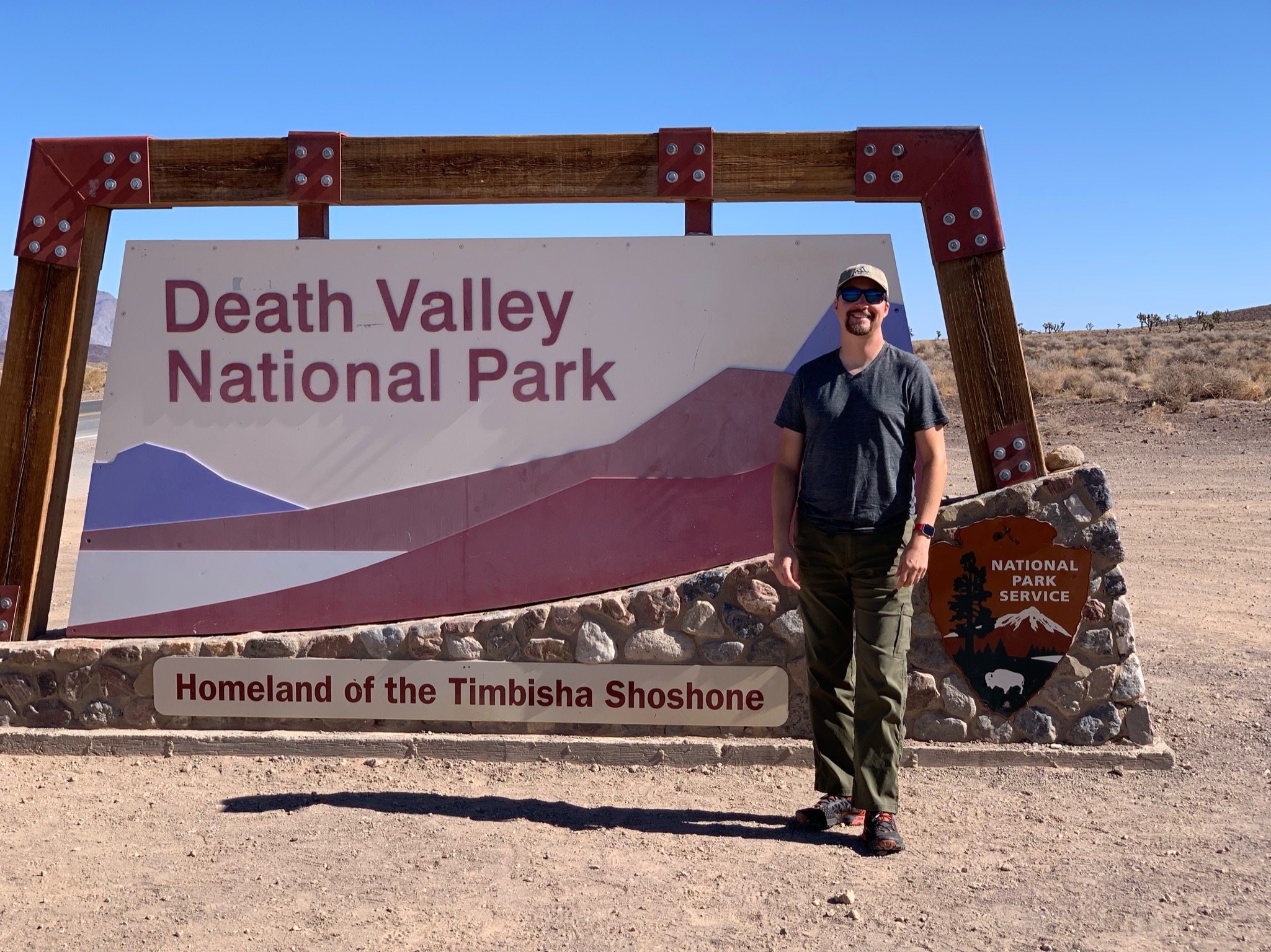
Death Valley National Park:
Because we were so close to Death Valley, we took a day to go into the park. As mentioned before, Death Valley National Park is the largest in land area in the lower 48 states at nearly 8500 square miles, and also contains the second-lowest point in elevation in the Western Hemisphere called Badwater Basin, but it is the lowest point in elevation on land. Even seeing a small part of Death Valley took us all day, because you have to drive over 100 miles to get into the park from any major highway. The roads were in great condition, just FYI, but our round trip was over 300 miles!
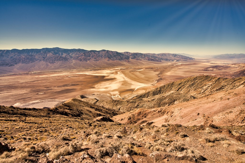
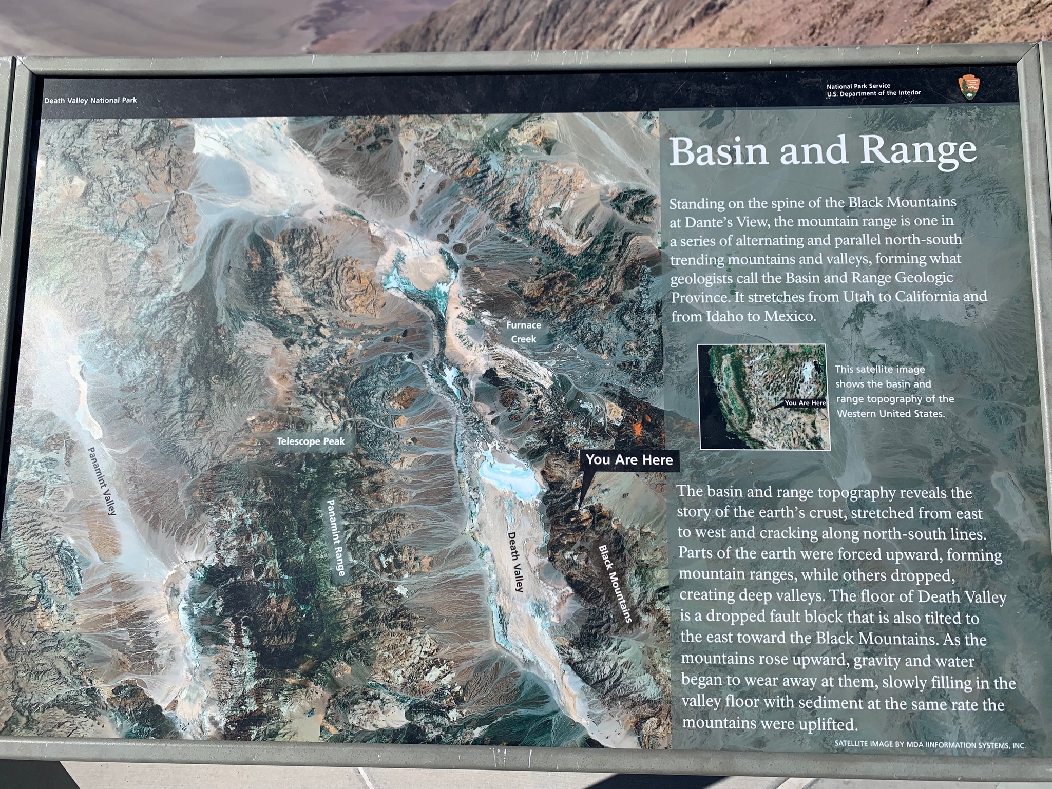
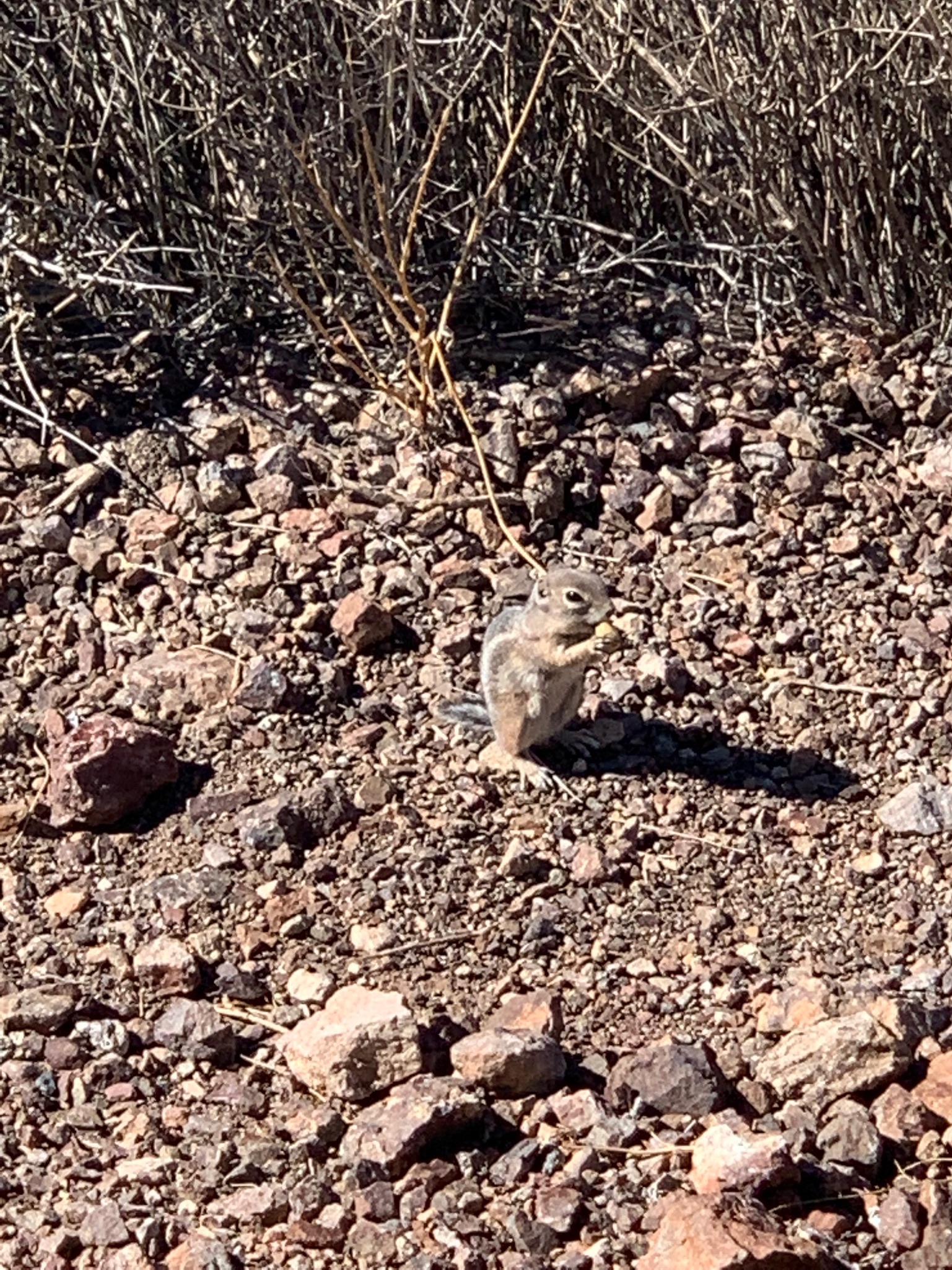
Considered one of the hottest places on earth, recording a temperature of 134 degrees Fahrenheit back in 1913, and also the driest US National Park, you would think the entire area was completely barren. Though parts of it are, between the colorfully layered rock formations and sporadic spring wildflower blooms, it is a beautiful place of natural wonder. After stopping by the Visitor Center, we drove up to Dante’s View to enjoy the expansive vantage point from which on a clear day you can see both the lowest and highest points (Badwater Basin and Mount Whitney) in the lower 48 states. It was a bit hazy that day, so I couldn’t see Mount Whitney, but the view was awe-inspiring nevertheless, and we even observed a cute little ground squirrel waiting for tourists to drop tasty snacks. 😊

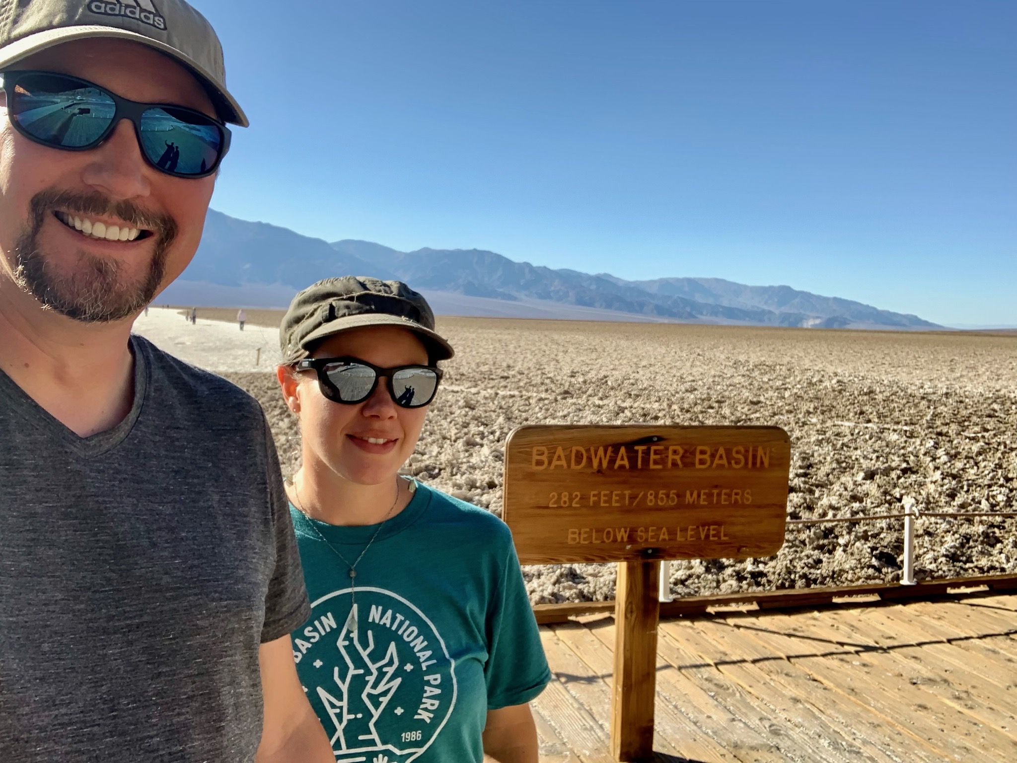
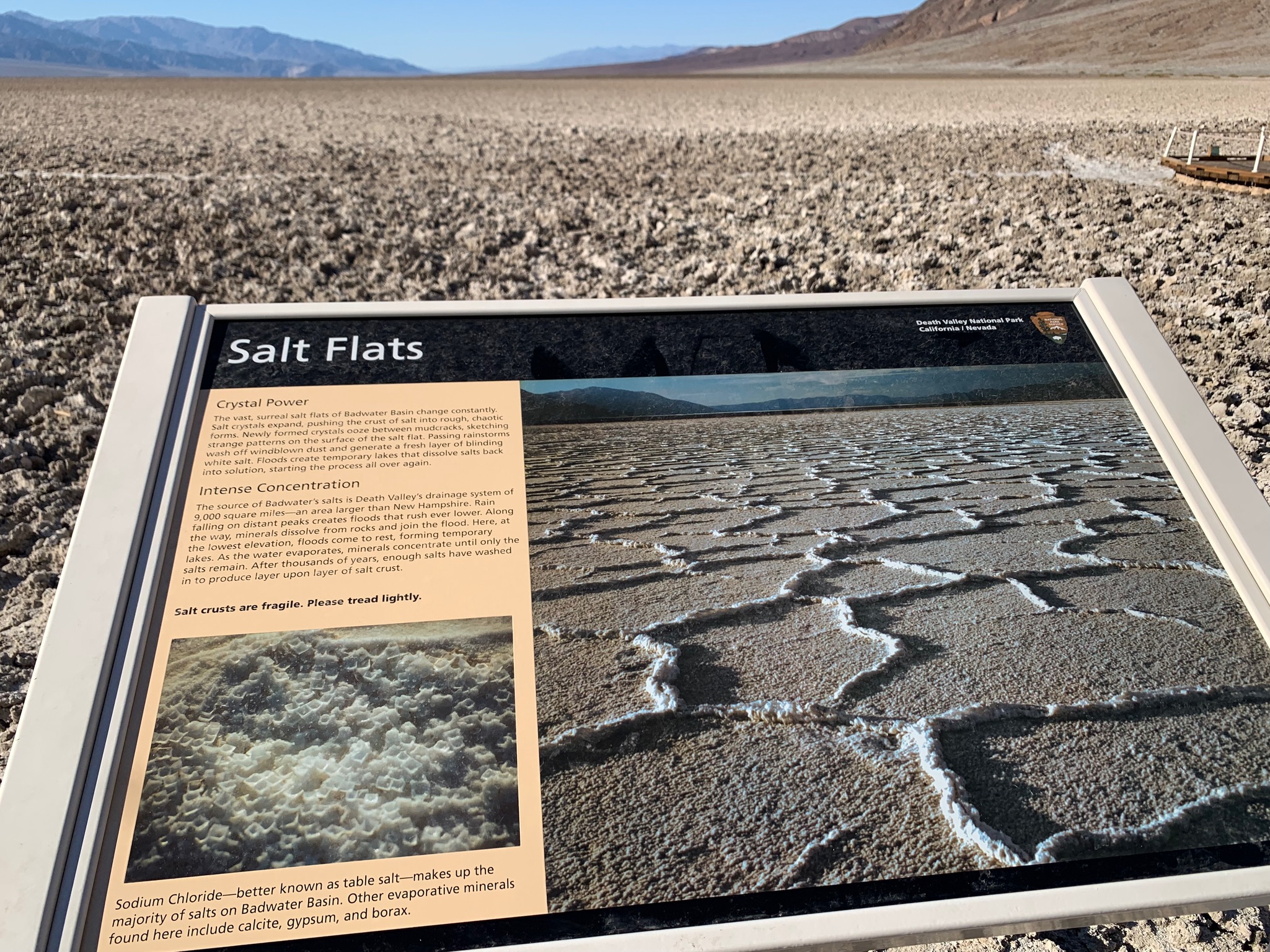
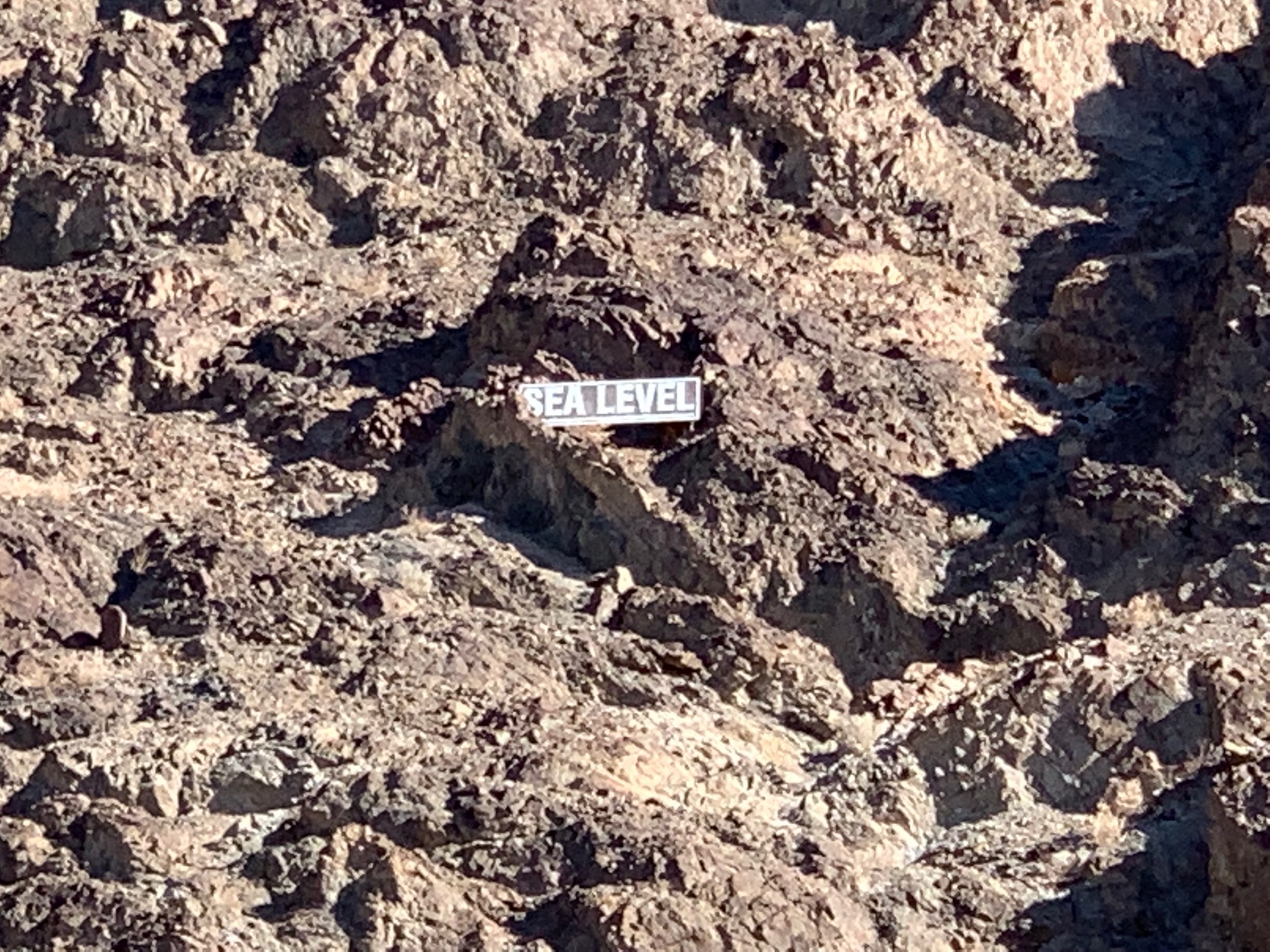
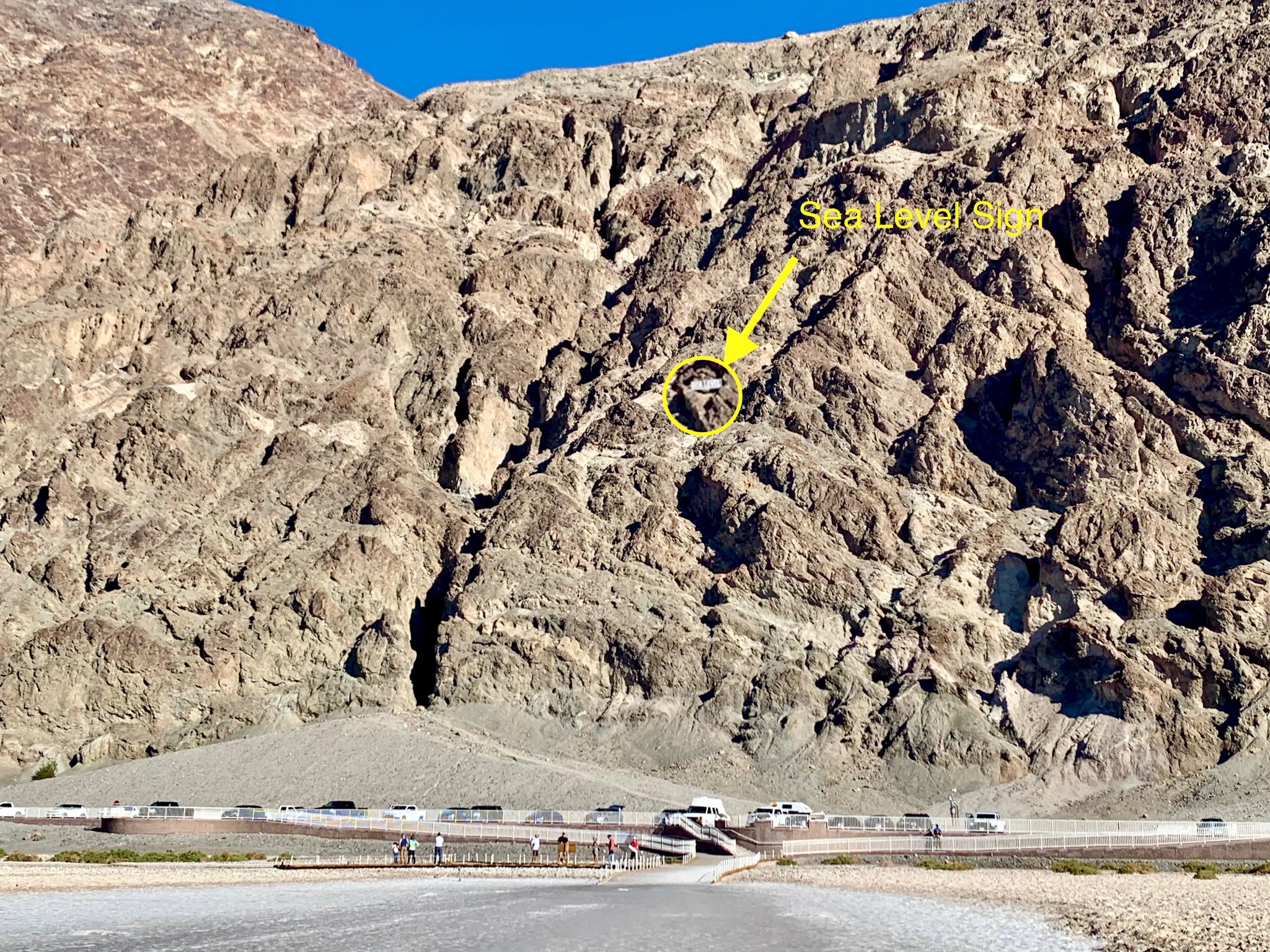
On our way back, we decided to visit Badwater Basin and see what land below sea level was like. The salt flats that make up this area were mostly dry, and it looked more like a plowed field than a dried up, salty basin. We were fortunate to be visiting during a more temperate time of year. Even so, at 85 degrees Fahrenheit, the sun was more intense in the basin than I anticipated, so I can’t imagine visiting during the summer. 🥵 It was also interesting to look up above us and see a small placard in the rocks showing us just how far below sea level we were standing. 😲
After exploring the salt flats for a little while, it was already time to start heading back before the sun went down. Our drive took us over two mountain passes with windy roads, so I went slowly, battling the western setting sun threatening to blind me around every other corner. That makes for exhausting driving conditions, but it was still a beautiful drive back. We wish we could have seen more, including the sailing stones, but it was time to pack up and head farther south.
Overall, I am so glad we drove down Highway 395 instead of Highway 5, and if you have the time to take this more scenic route, I highly recommend it. The roads are in great condition, the sites much more interesting, and the traffic is way lighter, which all make for travel days that are a lot less stressful and instead more delightful. Where are we off to next? We are visiting more friends in SoCal before heading eastward. Talk to you all soon!
